
Walk an Orem Street Step by Step
Start with the Utah County address form. It separates number, direction, street, street type, and city or location. Select Orem, choose the record scope, and keep the exact spelling that produces a match. If the address search is empty, try a direction variant, a full street type, a nearby number, or the county parcel map. Do not switch to a name search until the physical location is clear.
- Enter the street number, direction, street name, suffix, and Orem.
- Open the property result and record owner, situs, mailing context, serial, and legal description.
- Use the Utah County Parcel Map to click adjacent polygons and compare the street segment.
- Search the Recorder by party, entry and year, book and page, or serial cross-reference.
- Use a voter match, old directory, permit request, or GRAMA request only for the narrower question it can answer.
That sequence turns an Orem street directory search into a traceable address chain: address, parcel, owner, deed, then supporting records. It avoids calling a tax mailing line proof of who is inside a building.
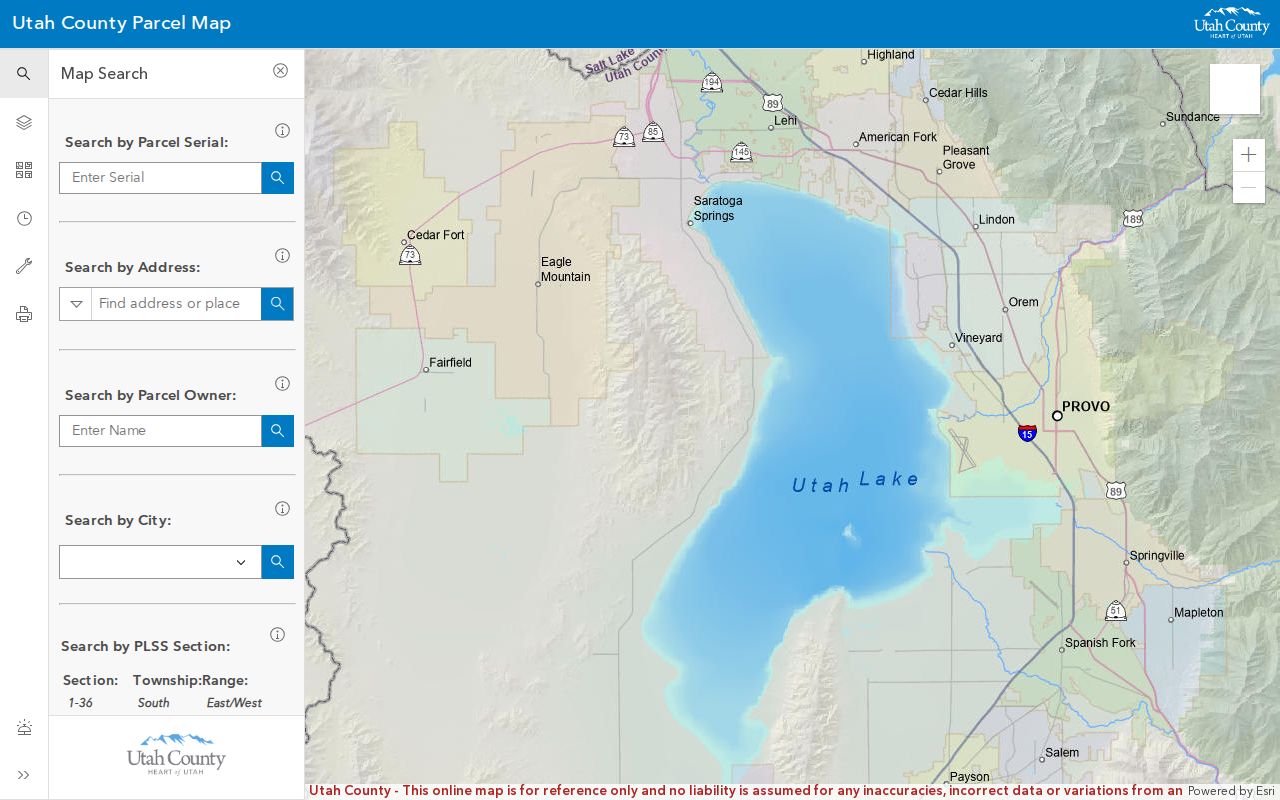
The parcel-map capture shows the county geography view that confirms a street result.
Fields in the Orem Address Search
The county form is not a simple free-text box. Number is separate from direction, street, street type, and city or location. The search controls include All Records and Current Records Only. The form does not show a ZIP field, so ZIP research should be done through USPS, the Orem ZIP layer, or the parcel address after the match.
| Field | Type or use | Search note |
|---|---|---|
| Number | Text | Enter the street number, such as the form’s 100 example. |
| Direction | Select | Use N, E, S, or W as presented. |
| Street | Text | Use the street name without guessing a person. |
| Street Type | Select | Choose the county suffix option. |
| City/Location | Select | Choose Orem or the correct Utah County place. |
| Record scope | Radio | All Records or Current Records Only. |
Search results are leads to property details. Keep any owner name, serial, value, tax, appraisal, exemption, subdivision, and legal-description fields that appear, then check the deed if a transfer matters.
Street Parcels in the County Map
The parcel viewer accepts an address or common place name, a serial, a book and page path, an owner name, or a PLSS location. Serial formats may appear as 123456789, 12:345:6789, 12 345 6789, or 12-345-6789. Leading zeros may be omitted, and comma-separated serials are accepted. Owner-name searches can be slower; multiple matches appear in a side popup with a Zoom to choice.
After selecting a parcel, turn on layers one at a time. The viewer provides aerial basemaps, zoning and other layers, a historic parcel date tool, measurement, coordinate, map header, and PDF or other export layouts. Historic Parcel reflects the parcel’s entry date in the online property system, not the recording date. The map is reference-only and without warranty.
Orem’s GIS image shows the city layers that can be added after the county parcel is identified.
Address-Keyed Orem Records
An address can open several record paths, but the paths describe different relationships. The Assessor shows a current property snapshot. The Recorder shows recorded parties and legal instruments. Orem GIS adds civic geography. The voter system needs an individual name and matching details. Historic directories may show a person at an address for a publication year.
| Source | Address key | What it may show | Access |
|---|---|---|---|
| Assessor search | Number, street, city | Owner, parcel, value, tax and mailing context | Free county portal |
| Parcel Map | Address or serial | Boundary, owner link, aerial, historic entry view | Free map |
| Recorder | Serial, legal description, party, entry | Deed parties, instrument, date, book/page, image path | Index free, copies $1/page |
| Orem zoning layers | Mapped parcel | Zoning and overlay context | Public ArcGIS service |
| City permit/code route | Address or permit | Work, inspection, or compliance history | Portal or GRAMA |
| Old directories | Printed street line | Period name, address, business, or notation | Library/catalog request |
County GIS resources help connect the address to the right layer, while the public record still comes from its named custodian.
Mailing and Situs Are Different
Situs means the physical parcel in Orem. A mailing address is the destination for tax or property correspondence. A trustee, estate, lender, organization, or remote owner can make the two addresses differ. That difference can help locate the responsible owner, but it never proves that the owner occupies the parcel or that every resident is named in the property record.
- Parcel
- A mapped land unit with a county serial and legal description.
- Situs address
- The physical location assigned to the parcel.
- Plat
- A recorded map that lays out lots, blocks, streets, or subdivisions.
- Criss-cross directory
- A reverse directory organized by street or address rather than surname alone.
Use the serial and legal description as the stable bridge when the street wording changes. A plat or deed can resolve a lot or subdivision clue better than a map label.
Follow Deeds Along the Block
The Recorder’s public material covers official records from 1870 to the present. The handwritten name index runs from 1870 through January 1978. The computerized name index begins in January 1978. Abstracts have a handwritten or typed period through September 1985 and an overlapping computerized range beginning around May 1980. Those paths are not interchangeable.
Search a current owner or party, capture entry number and year, book and page, kind of instrument, grantor, grantee, legal description, and image or abstract link. A grantor is the party transferring an interest; a grantee is the party receiving it. To move backward, search the seller as an earlier grantee or use the serial and legal description. The Recorder cautions that it is not a universal lien or judgment search, so other custodians may be needed.
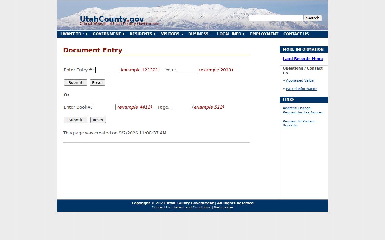
The Recorder document capture shows why an index result should be checked against the scanned instrument before drawing a conclusion.
Orem’s Grid Helps Bridge Time
Orem’s current street grid includes 2000N, 1600N, 1200N, 800N, 400N, Center, 400S, 800S, 1200S, University Parkway, 1600S, and 2000S, with corridors such as Geneva, Main, State, Orem Boulevard, and numbered east-west roads. That pattern can help test an old directory line against today’s map.
No official Orem-wide renumbering or renaming year was located. Do not invent a conversion table. Preserve the old wording, compare plats and legal descriptions, search nearby directory spellings, and ask city planning or county GIS about a suspected change. Annexation can also change civic layers without changing every older county record at the same moment.
Orem Street Permit Records
Orem’s building page advertises an account-based online workflow through CityInspect, but the inspected public page does not expose a complete anonymous citywide permit search with a verified field list. Fence work has a separate form unless masonry, concrete, or retaining-wall work is involved. For a particular address, permit number, inspection date, applicant, or code matter, use the portal or make a narrow Orem GRAMA request.
Orem GIS supplies zoning, overlays, neighborhoods, cemetery, flood, city boundary, police statistical, and ZIP services. The zoning and overlays service describes land context, not residents. A Where I Live report can add neighborhood, school boundary, land-use, crime-statistic, and elected-official context without becoming a block roster.
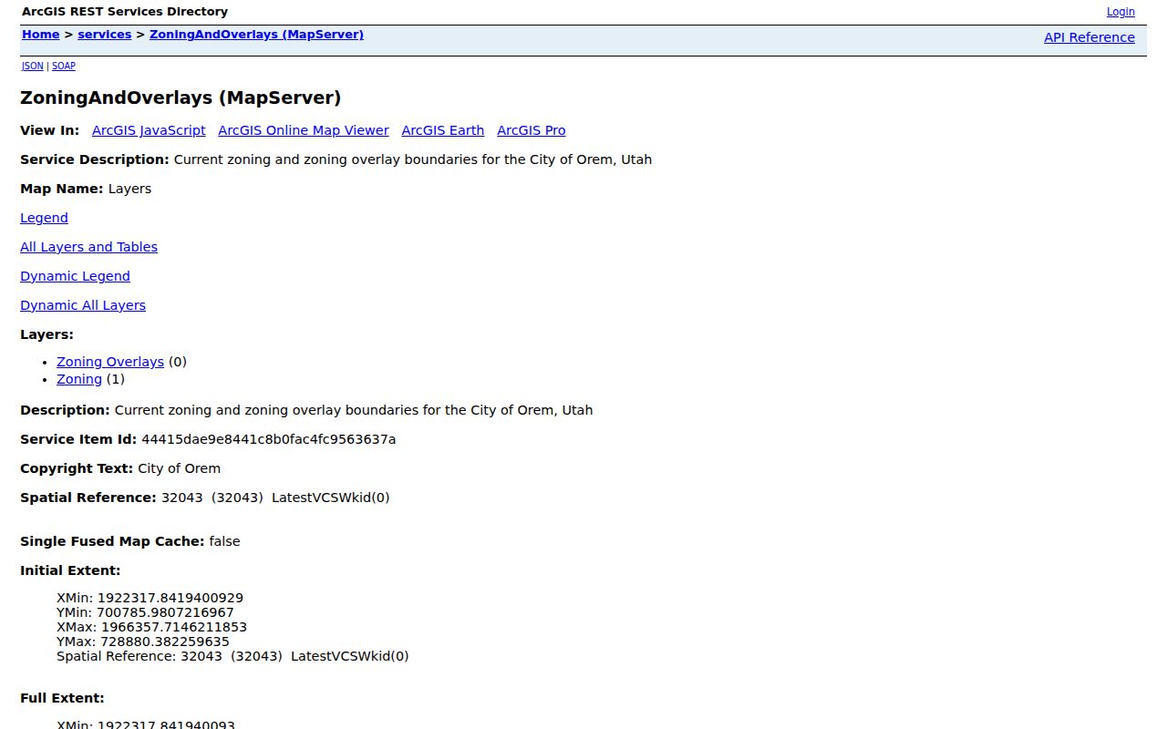
The zoning capture shows why a mapped overlay should be treated as geographic context rather than an occupant record.
Orem Street Voter Records
The Utah voter form asks for a specific person’s first name, last name, date of birth, street, city, and ZIP. It is not a street directory with a browse mode. A county voter-file request can select residence cities, precincts, districts, party, and optional vote history, but it requires certification and a purpose statement. The county form states a $5 setup charge plus $1 per 500 names, up to two business days, and exclusions for private or withheld voters.
Public voter data can include names, addresses, precincts, districts, party status, activity, updates, and vote history. Full DOB, SSN, driver or state ID, email, phone, signature, and At-Risk information remain protected. Use this system for a specific lawful match, not an assumed list of everyone living along an Orem street.
What an Orem Street Directory Cannot Show
Property records do not name every household member. Voter records do not include everyone at a parcel. DMV, utility, delivery, and private association data are not open resident lists. Police, victim, juvenile, sealed, expunged, and Safe at Home information can be restricted or redacted. A commercial address profile may be stale or merge two people, so it is not a substitute for the custodian’s record.
Privacy limit. Use Orem address records for lawful personal research, genealogy, reconnection, civic context, or consumer safety. Do not use a street directory to stalk, monitor, harass, threaten, or harm anyone.
For historical street listings, request the Orem Library catalog and local-history help, Utah City Directories at Marriott, FamilySearch catalog access, UVU history books, and Orem Geneva Times newspaper material. The historical shelf belongs in the Orem directory book; the present parcel chain belongs here.
Orem Street Search Notes
Keep a search log with the exact number, direction, street type, city choice, record scope, result date, parcel serial, and source URL. If a segment has several parcels, mark each map click and keep the order of the addresses. Use the Recorder’s document and image routes for legal transfers, the Assessor for current property context, and Orem’s GIS services for zoning or neighborhood geography. That small record of terms makes a later correction easier and prevents a partial result from being mistaken for a full street directory.