
Orem ZIP Codes at a Glance
Utah’s small-area geography groups North Orem with 84057 and 84059, West Orem with 84058, and East Orem with 84097. These are useful local shorthand, not neighborhood names. USPS controls the actual mailing boundary, and the exact city, ZIP, and carrier route should be checked for an address before a record is labeled Orem.
| ZIP | Local grouping | Postal note | Orem caveat |
|---|---|---|---|
| 84057 | North Orem | USPS delivery geography | Verify exact edge address |
| 84058 | West Orem | USPS delivery geography | ZIP is not a neighborhood |
| 84059 | North Orem | USPS delivery geography | Use parcel and USPS checks |
| 84097 | East Orem | USPS delivery geography | Analytical grouping only |
| 84601 | Provo-area layer record | USPS verification required | Not a normal Orem code by display alone |
| 84604 | Provo/BYU-area layer record | USPS verification required | Treat as edge or overlap data |
That six-row table is the heart of an Orem ZIP code directory search: four core codes supported by state geography, plus two codes that the local parcel layer displays but that need postal confirmation.
Orem ZIP Code Map Exceptions
The Orem ZIP ArcGIS service groups parcel addresses by ZIP and includes 84601 and 84604 in its layer or legend. The state ZIP listing associates those codes with Provo. The result is not a contradiction when the layer is read as parcel-address data rather than a city identity ruling. It is a prompt to verify the edge address with USPS.
Do not advertise 84601 or 84604 as ordinary Orem ZIP codes solely because the Orem map shows them. Keep the municipal parcel location, mailing city, ZIP, and source date in separate fields. No official Orem ZIP split or realignment year was located, so no year should be invented for a boundary change.
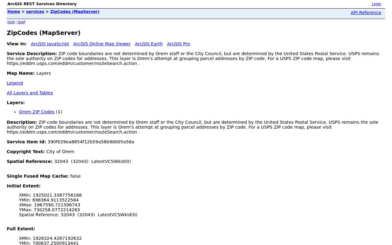
The map-service image shows the useful local layer, while USPS remains the authority for the mailing result.
Search Orem Residents by ZIP
A ZIP-based resident search needs two steps because no single local portal returns a ZIP-wide resident roster. First, verify the mailing ZIP through USPS or EDDM. Next, use the ZIP as a narrowing clue in an individual voter match, then use the parcel or address system for property context. The county address form uses number, direction, street, street type, and city or location rather than a visible ZIP field.
- Choose one of 84057, 84058, 84059, or 84097 as a starting geography.
- Check USPS for the exact mailing address, city name, and ZIP.
- Use the Orem ZIP service to orient the parcel layer and note any edge case.
- Search the county Assessor or parcel map by address, serial, or owner.
- Use Utah Voter Search only for a specific person with first name, last name, DOB, address, city, and ZIP.
Once the ZIP narrows to a street, move to the Orem street directory for address-keyed work. ZIP is the filter; the parcel serial is the more stable property bridge.
ZIP-Capable Local Portals
Portal fields differ. The Utah voter form accepts ZIP as one of six matching inputs, while the county voter-file request selects residence cities, precincts, and districts rather than showing a ZIP selector. The Orem service is a GIS layer with query, identify, and export operations. Its inspected metadata lists a MaxRecordCount of 10, so a broad request may need to be narrowed or paged.
| Portal | ZIP mode | What comes back |
|---|---|---|
| Utah Voter Search | ZIP plus five match fields | One person’s registration result, not a roster |
| County voter file | No visible ZIP selector | Requested city, precinct, district, party, and vote fields |
| Utah County Assessor | No basic ZIP field | Address and parcel matches |
| County Parcel Map | No direct ZIP search | Address, serial, owner, PLSS, city, and layers |
| Orem ZIP service | ZIP layer query/identify/export | GIS polygons or parcel-address attributes |
| USPS route search | Mailing ZIP lookup | Postal verification |
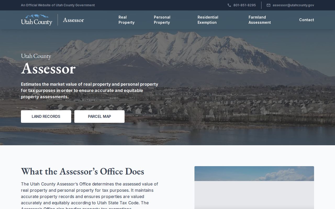
The Assessor capture is the next step after a ZIP clue, connecting the location to a parcel and owner context.
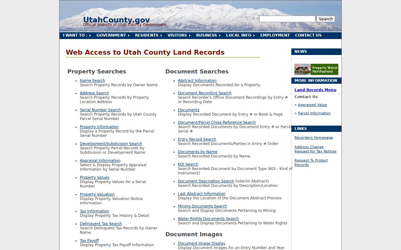
The county land-records hub is the bridge from a ZIP clue to a specific parcel and address.
Orem ZIP Code Address Terms
Three location labels should travel together. Situs is where the parcel sits. Mailing address is where correspondence goes. Legal description identifies the land through a lot, block, subdivision, or metes-and-bounds language. ZIP is a postal code. They often align, but they serve different systems and can split at city edges.
- ZIP+4
- A postal extension that adds delivery detail to a five-digit ZIP.
- PO-box ZIP
- A ZIP used for a post-office box or postal facility rather than a parcel boundary.
- Unique ZIP
- A code assigned to one organization or special delivery use.
- Carrier route
- A postal delivery grouping within the USPS system.
- Parcel serial
- A county identifier that links a mapped parcel to property records.
The county map accepts serial variants such as 123456789, 12:345:6789, 12 345 6789, and 12-345-6789. Preserve the serial and legal description when a ZIP or street line changes.
Orem ZIP Code and City Geography
ZIP boundaries can cross municipal lines, and a city can contain more than one ZIP. Orem’s nine districts and 22 neighborhoods are civic geography, not postal geography. The city’s Where I Live report can add neighborhood, zone, land use, school boundaries, crime statistics, and elected officials to a parcel, but it does not provide a named neighborhood roster.
The county precinct map adds a political boundary, while the ZIP layer adds a postal or parcel grouping. Neither one proves that a person lives at a given parcel. If the city name on a mailing line is different from the municipality on a parcel card, keep both and cite the source that supplied each.
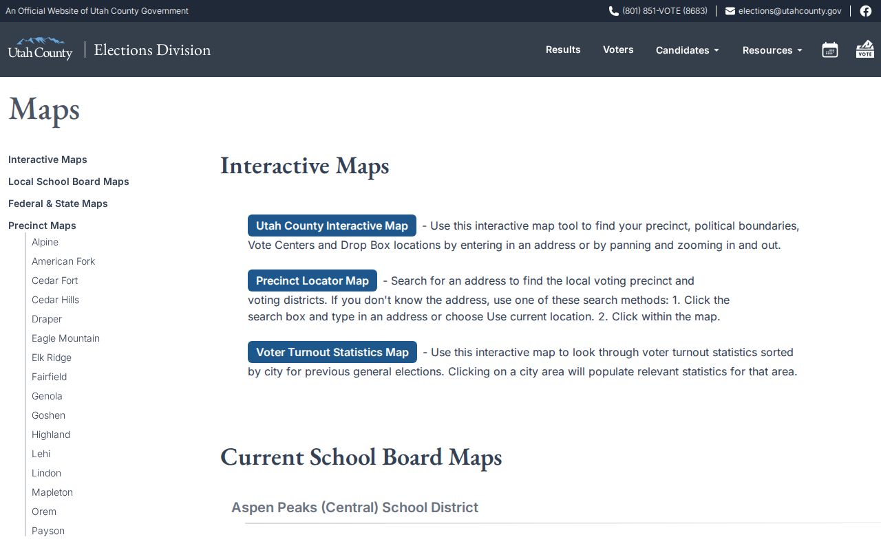
Precinct and ZIP maps answer different geography questions, even when they cover the same Orem address.
Historical ZIP and Address Clues
Older city directories, deeds, plats, census pages, and newspapers can show how an address was written in a past period. The local research did not verify an Orem-wide street renumbering year or ZIP realignment year. Test a suspected change through the street grid, legal description, serial, directory street section, and recorded deed rather than a guessed conversion table.
For a former household, a directory year may place a name at an address while a deed supplies the ownership date. For a current parcel, the serial can bridge old and new street wording. The historical Orem directory book explains the collection route; this page keeps the ZIP layer as the geographic filter.
What an Orem ZIP Search Cannot Prove
A ZIP result does not prove that a person occupies a property, is registered to vote, belongs to a neighborhood, or is inside Orem city limits. It does not reveal protected voters, Safe at Home addresses, utility customers, delivery records, or every person in a household. The parcel layer can be useful, but it is reference-only and should be checked against the relevant custodian.
Postal check. Use USPS for the mailing boundary, Orem’s ArcGIS service for local map context, and Utah County property records for a parcel-specific address and owner lead.
A careful Orem ZIP code directory workflow labels the source, date, and field. It does not turn map geography into a personal roster. Record the mailing city as well as the code, since a postal label and municipal boundary can answer different questions.
Orem ZIP Search Notes
Keep the ZIP, mailing city, situs address, parcel serial, and source date together. When a map layer shows 84601 or 84604, label it as a parcel-layer observation until USPS confirms the actual mailing route. When the goal is a named person, use the individual voter match or county property system and state which field supplied the name. When the goal is a whole street, a ZIP is only a first filter, and the address components plus parcel serial carry the research forward. This careful labeling is what makes an Orem ZIP code directory useful without overstating postal geography.