
What an Orem Block Can Show
A block lookup combines map geography with record purpose. The parcel viewer shows adjacent boundaries and owner links. The property record adds situs and mailing context. The voter system can test one named person, not every neighbor. Orem neighborhood pages describe civic districts and public representation, while historical directories show a past street snapshot. Use the source that matches the question.
| Source | What it shows about a block | Access |
|---|---|---|
| Utah County Parcel Map | Adjacent parcels, boundaries, serials, addresses, owner links | Public map |
| Assessor property search | Owner, value, tax, appraisal, mailing context | Free county portal |
| Orem Where I Live | Neighborhood, zone, land use, school, crime and elected-official context | Public report/map |
| Individual voter lookup | Specific registration match and polling context | Six-field match |
| County voter file | Requested addresses, precincts, districts, party and vote history | Certified request |
| Recorder deed index | Ownership interests and transfers | Public index |
| City permit or code request | Address-linked work or compliance history | Portal or GRAMA |
Owners are not the same as occupants. A parcel can be held by a trust, estate, lender, or business. A mailing address can be outside Orem. A neighbor result is therefore a mapped property relationship, not a claim about everyone inside.
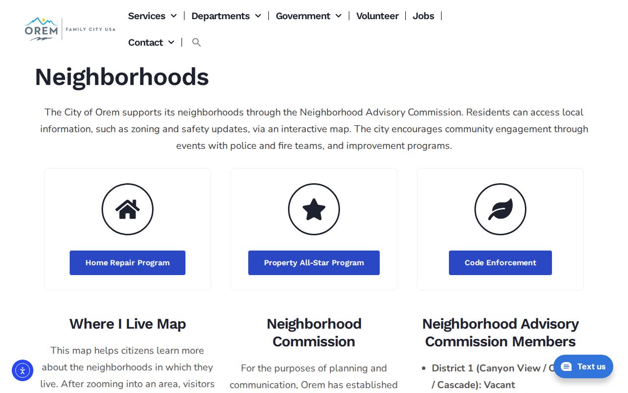
The city neighborhood capture shows civic geography without implying a public membership list.
Map Orem Neighbors From One Parcel
The Utah County Parcel Map is the lead tool for nearby parcels. Search an address or common place name, select the boundary, and note the serial, situs, owner link, legal description, and map geometry. Pan or zoom to the polygons that share a boundary, sit across an alley, or fall within a measured radius. Shared driveways, common areas, vacant parcels, and condominium units can make “next door” ambiguous.
- Locate the known Orem address and select its parcel.
- Save the serial, address, owner link, legal description, and map date.
- Click each adjacent polygon and record the same fields.
- Use measurement for a defined block or radius, then add zoning, ZIP, flood, or city-boundary layers.
- Compare the parcel result with the Assessor or Recorder before describing the relationship.
The viewer also accepts serial formats 123456789, 12:345:6789, 12 345 6789, and 12-345-6789. It supports owner-name, PLSS, city, historic parcel, aerial, measurement, and export tools. Historic Parcel reflects online system entry timing, not deed recording.
Orem’s Nine Districts, 22 Neighborhoods
The city’s neighborhood structure adds a specific civic layer to a block. District 1 includes Canyon View, Orchard, and Cascade. District 2 includes Orem North and Sharon Park. District 3 includes Heatheridge, Northridge, and Windsor. District 4 includes Aspen and Timpview. District 5 includes Geneva Heights, Suncrest, and Orem Park. District 6 includes Orem, Sharon, and Hillcrest.
District 7 includes Stonewood and Lakeridge. District 8 includes Sunset Heights East and Sunset Heights West. District 9 includes Lakeview and Cherry Hill. Orem says districts have neighborhood representatives and a council member, with a Where I Live report for neighborhood, zones, land use, school boundaries, crime statistics, and elected officials. This is civic geography, not a resident or association roster.
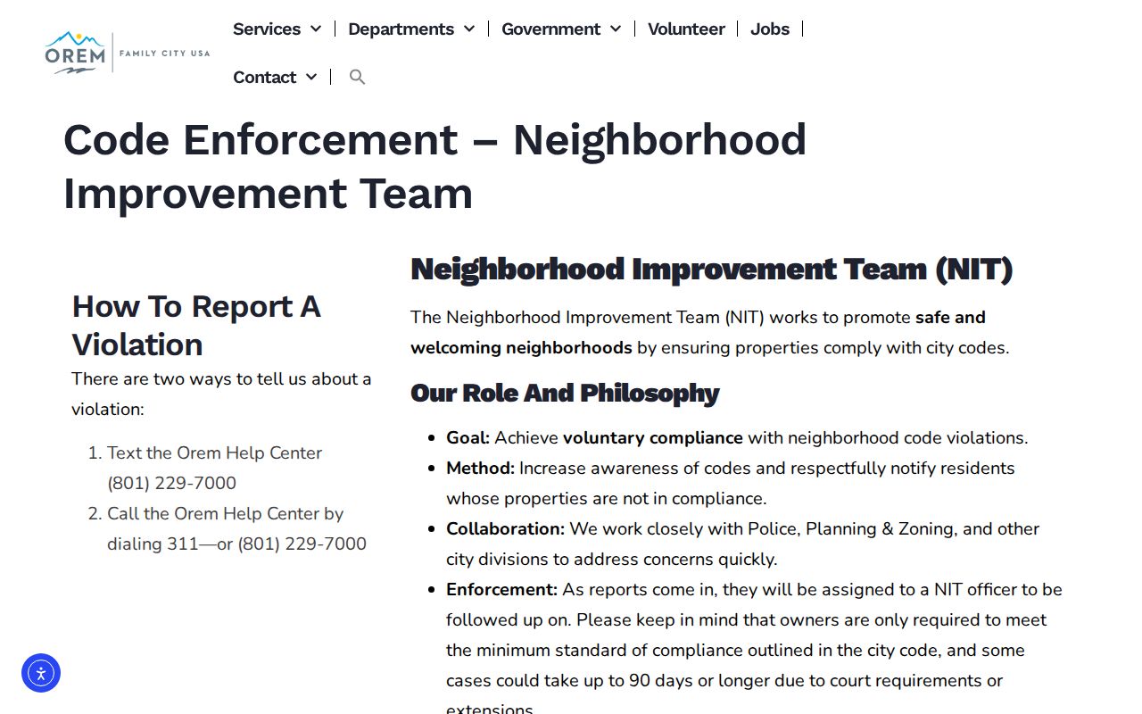
The neighborhood-improvement route adds a civic-record option for a specific property or issue, subject to access rules.
Orem Neighbors and Voter Records
The Utah individual voter form asks for first name, last name, date of birth, street address, city, and ZIP. It can match a specific person but cannot browse a block. A county voter-file request can select residence cities, voting precincts, political districts, party, and optional vote history. The form requires contact details, a purpose statement, certification, and acknowledgment of penalties and exclusions.
The county route states a $5 setup charge plus $1 per 500 names, Excel delivery, and up to two business days. Public fields may include name, address, precinct, districts, party, and vote history from 2016 forward if selected. Full DOB, SSN, driver or state ID, email, phone, signature, and At-Risk records are withheld. Utah SB153 changed the privacy transition on May 25, 2026, so verify the live rules before using a field.
Orem Neighbor Deeds Show Owners
The Utah County Recorder’s public record range begins in 1870. Its name index is handwritten through January 1978 and computerized from January 1978 forward. Search a neighboring parcel by owner or party, entry and year, book and page, serial, legal description, or instrument type. A deed image can verify a transfer, grantor, grantee, restrictions, and legal description. It still does not list every person in a home.
The Recorder charges $1 per page for a recorded-document copy, and its FAQ warns that a Recorder search is not a universal lien or judgment search. Use the court, tax, or other custodian for those questions. A title search and legal interpretation are separate services. When a street name or mailing line differs, keep the parcel serial as the bridge.
Orem Neighbor Permit Records
Orem’s building page points to an account-based CityInspect workflow, but the inspected public page does not expose a complete anonymous permit-name or address index. It notes a separate fence form unless masonry, concrete, or retaining-wall work is involved. For a specific permit number, address, inspection date, applicant, or code matter, use the portal or the Orem GRAMA request.
The Neighborhood Improvement Team route can involve code complaints and voluntary compliance. Research notes say reports may take 90 days or more because of compliance, court, or extension steps. A public record request should be narrow and should expect redactions where another law protects a person or investigation.
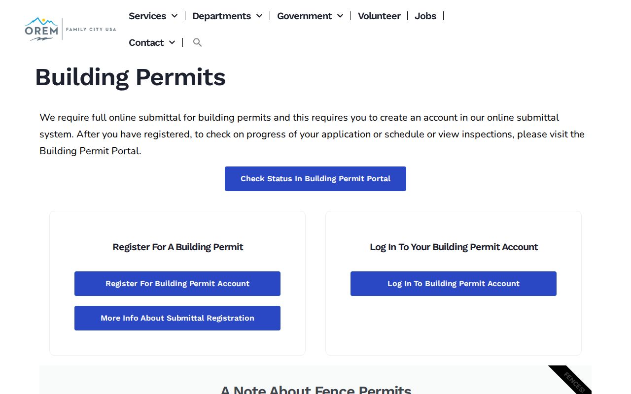
The building-permit capture shows why an address request and an anonymous resident list are different things.
Neighborhood Groups Have Limits
Orem’s Block Captain and Neighborhood Improvement structure connects block captains to Neighborhood Specialists, Area Specialists, and the Emergency Operations Center. Neighborhood Advisory Commission agendas, minutes, and recordings are public civic materials. The research did not locate an official Orem HOA, block-watch, congregation, or civic-club membership directory. Do not imply that a private roster is available.
For community context, use public meetings, neighborhood names, published announcements, and city planning material. For a named person, use an official source that has a clear purpose, such as a parcel, court, voter, license, obituary, or historical collection. Community geography can explain where a block sits without exposing its private contacts.
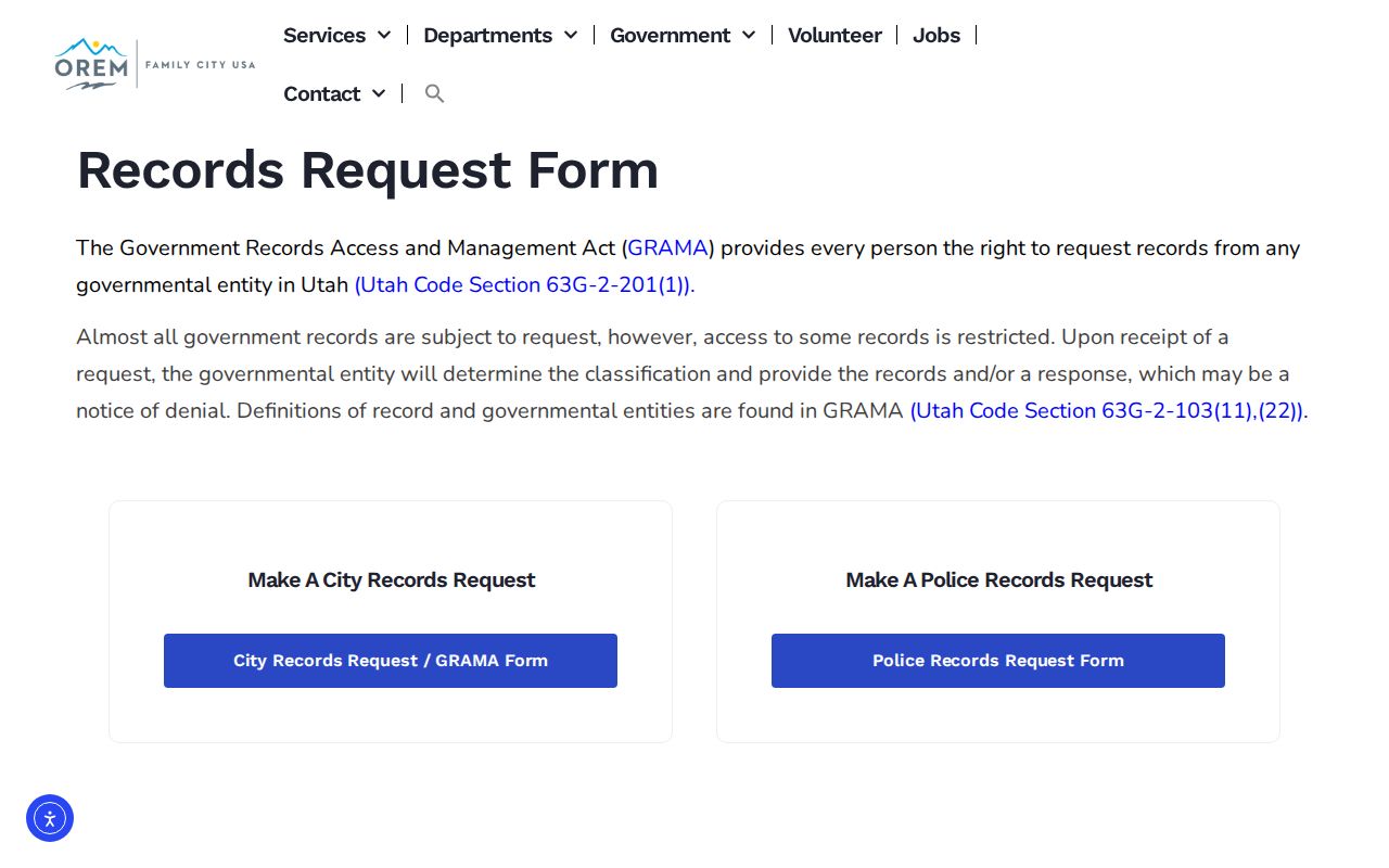
The GRAMA image provides the fallback when a particular public civic record is not exposed in a map.
Official Sources Compared With Profiles
Commercial neighbor tools can assemble old address associations, brokered data, and public-record copies. They may merge same-name people, lag behind a transfer, or omit protected participants. Official sources can also be incomplete, but their fields, coverage, custodian, and correction route are clear.
| Source type | Strength | Weak point |
|---|---|---|
| Parcel and Assessor | Named parcel, owner, legal and map context | Does not prove occupants |
| Voter source | Defined individual or certified file fields | Privacy, purpose, and exclusion rules |
| Recorder | Recorded transfer and legal instrument | Not every lien, judgment, or household |
| City civic map | Neighborhood and district context | No private member roster |
| Commercial profile | May gather many old clues | Stale, merged, uncited, and costly results |
Privacy Limits Around Your Neighbors
Renters and other household members are not indexed in the property roll. Safe at Home participants use substitute addresses. Protected and At-Risk voters, juvenile or sealed court matters, victim information, DMV records, utility customers, and delivery data stay outside a normal public block lookup. A missing name may be a lawful privacy result.
Lawful use. Orem neighbor research is appropriate for personal safety awareness, civic geography, reconnecting, and ordinary community history. Utah law prohibits stalking and related conduct that causes fear or emotional distress. Do not use maps or records to monitor, threaten, harass, or harm anyone.
For a whole named street, use the Orem street directory. For one person, use the resident lookup and confirm the record with its custodian.